Lodi Eye
LodiEye provides additional information on trending stories / topics published by local media and shared on local social media accounts.
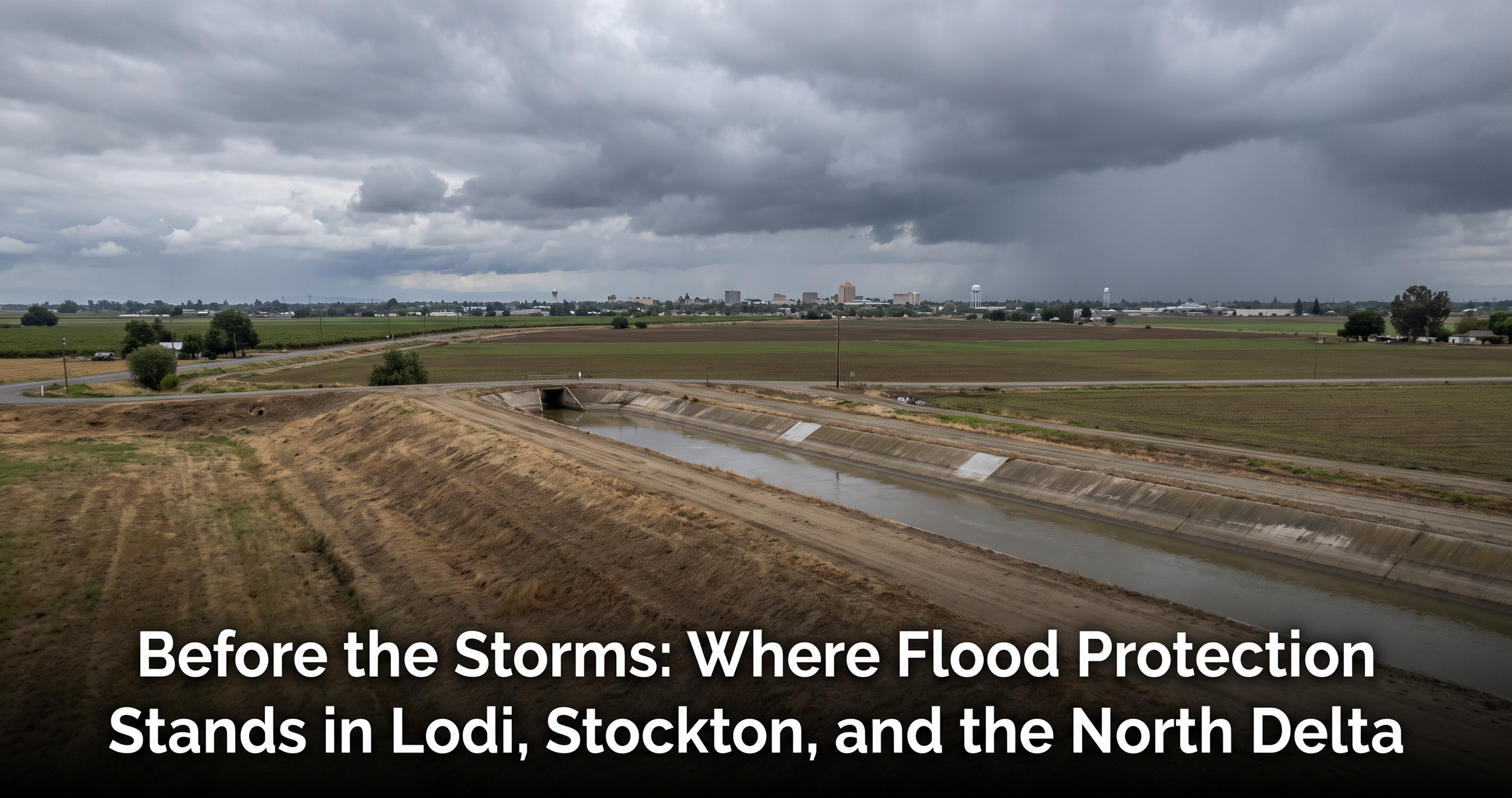
Before the Storms: Where Flood Protection Stands in Lodi, Stockton, and the North Delta
NOAA now puts the odds of a very strong El Niño at greater than 90% for fall and winter 2026-27, and gives a 69% chance the October–December 2026 season sets a record for its three-month tropical Pacific temperature index dating back to 1950. The August 2026 Copernicus/ECMWF seasonal outlook calls wetter-than-average conditions likely across southern North America. A companion Lodi411 forecast report covers the atmospheric signal. This brief asks the next question: is the region's flood protection ready?
The answer sorts by clock. One project — the Tenmile Slough levee in west Stockton, described by San Joaquin County as the most critically deficient among those to be improved in the Central Valley system — is racing to finish by late October, weeks before the wet signal arrives. One asset — the Smith Canal Gate — is built, tested once in real weather, and about to face the busiest closure season of its short life. The rest of Stockton's $1.95 billion levee program runs on a design-and-construction schedule stretching into the late 2030s, and no comparable capital project exists on the Mokelumne corridor that runs past Lodi. For every reach that concrete cannot cover by December, this winter's protection is operational: reservoir flood space, district maintenance, levee patrols, and pre-positioned flood-fight supplies. Knowing which category each piece of the map falls into — and what to watch for each — is the point of this report.
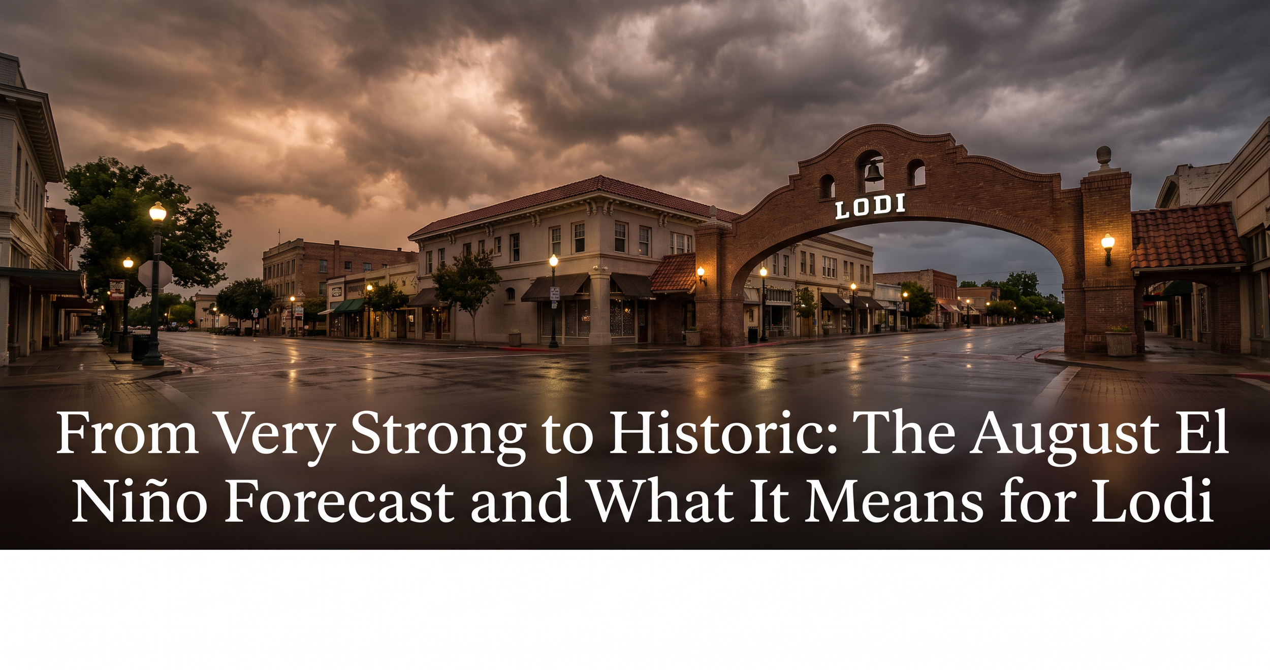
From Very Strong to Historic: The August El Niño Forecast and What It Means for Lodi
In April, El Niño was a forecast NOAA handicapped at 61%. By early July it was a fact, with an 81% chance of a very strong peak. The August 13 diagnostic discussion moved the goalposts again — twice. NOAA now puts the chance of a very strong El Niño this fall and winter above 90%, and for the first time assigns a probability to something it calls a historic event: a 69% chance that the October–December peak exceeds every El Niño in the record back to 1950. The mid-August IRI/Columbia model ensemble goes further still, with 15 of its models forecasting peak anomalies at or beyond +3.0°C — past the top of the IRI's own intensity scale.
The California translation arrived the same week. Citing the August ECMWF ensemble, UCLA climate scientist Daniel Swain reports 70–100% odds of above-average winter precipitation statewide — and the same odds that December–February lands among the top 20% of California's wettest winters on record. For Lodi, the preparation questions the April report framed as contingencies — Mokelumne flood-control releases, harvest-season rain, flood insurance — are now the base-case planning scenario. The core caveat survives: probability is not destiny, and 2015–16 proved a monster label can deliver an ordinary winter. But every forecast revision since April has moved one direction.
It's Here: El Niño Arrives Ahead of Schedule — and the Forecast Keeps Climbing
When LodiEye published its April climate brief, El Niño was a forecast — a near-universal model signal that NOAA still handicapped at 61%. Four months later, the question mark is gone. El Niño conditions are present in the equatorial Pacific, NOAA has upgraded from El Niño Watch to a full El Niño Advisory, and its July 9 diagnostic discussion gives the event a 97% chance of persisting through early spring 2027 — with an 81% chance of reaching "very strong" status during October–December, which would place it among the largest El Niño events in the record going back to 1950.
The local stakes have sharpened, too. California's reservoirs enter fall in good shape — welcome news that also means the flood-control buffer is thinner than it would be coming out of a deep drought. The record marine heatwave off the coast has persisted and intensified, tropical moisture is already reaching Southern California, and the state has begun stockpiling flood-fight supplies at a scale that signals how seriously Sacramento is taking the winter ahead. The April caveats still hold — a strong El Niño label describes the ocean, not California's rainfall — but the probability needle has moved decisively since spring.
Strongest El Niño in 140 Years
A rare triple-cyclone cluster near the equator in early April triggered what atmospheric scientists are calling possibly the most powerful westerly wind burst in the equatorial Pacific in a century. The April seasonal forecast from the European Centre for Medium-Range Weather Forecasts (ECMWF) shows near-universal model agreement that El Niño conditions will arrive by mid-to-late summer. A subset of models — about half of the ECMWF ensemble — projects sea-surface-temperature anomalies above 2.5°C by October.
For San Joaquin County and Lodi, the picture is further complicated by this year’s unusual water-year volatility, a record-breaking marine heatwave off the California coast, and a Sierra snowpack currently tied with 2015 for the lowest on record to date. History shows that a strong El Niño label does not guarantee a wet winter here — but when conditions align, the Mokelumne and San Joaquin river systems, the Delta levees, and Lodi’s vineyards absorb the consequences together.
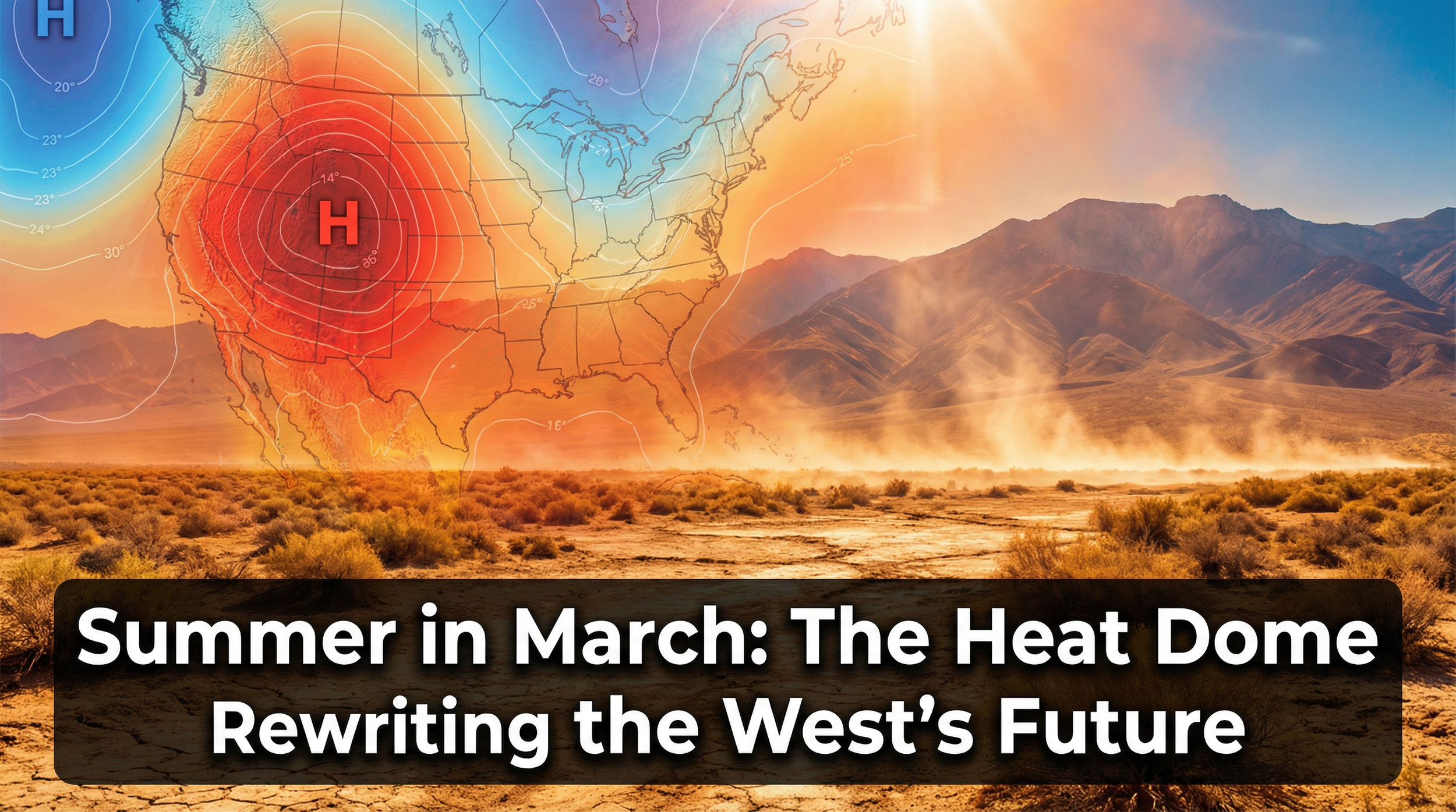
Summer in March: The Heat Dome Rewriting the West's Future
An unprecedented ridge has shattered records across 23 states, decimated snowpack, and pushed the Colorado River system toward its most dangerous water year on record. Here’s what the science says, where the models are failing, and what it means for San Joaquin County and Lodi.
El Niño Returns: What a “Godzilla” Climate Event Could Mean for Northern California’s Water, Farms, and Fire Risk
Leading forecast models now put the odds of at least a moderate El Niño at roughly 98% by late summer, with an 80% chance it could reach “strong” status. Some models suggest this could rival the historic 1982–83, 1997–98, and 2015–16 events.
This special report examines what the emerging El Niño—combined with this winter’s record-warm conditions and troublingly low snowpack—could mean for our community across three critical areas: (1) flood risk and reservoir operations, (2) local agriculture and water supply, and (3) wildfire danger. Each section identifies specific risks, the areas most affected, and what Lodi residents should know.